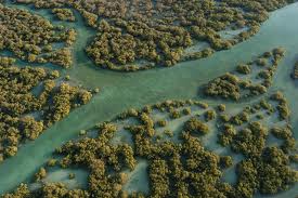
Abu Dhabi paddle routes, water access points and wildlife viewing areas
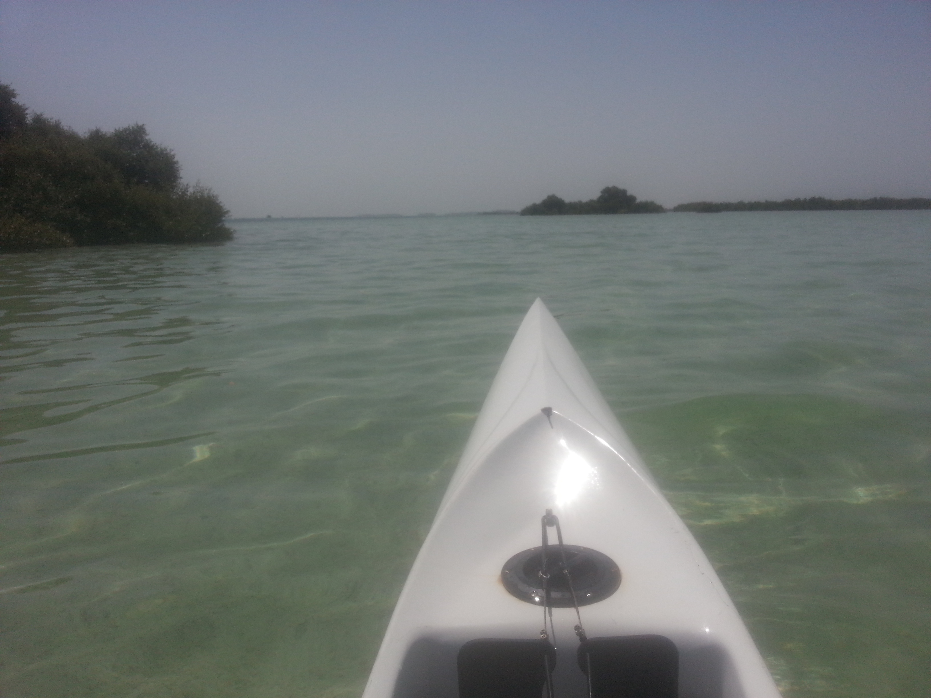
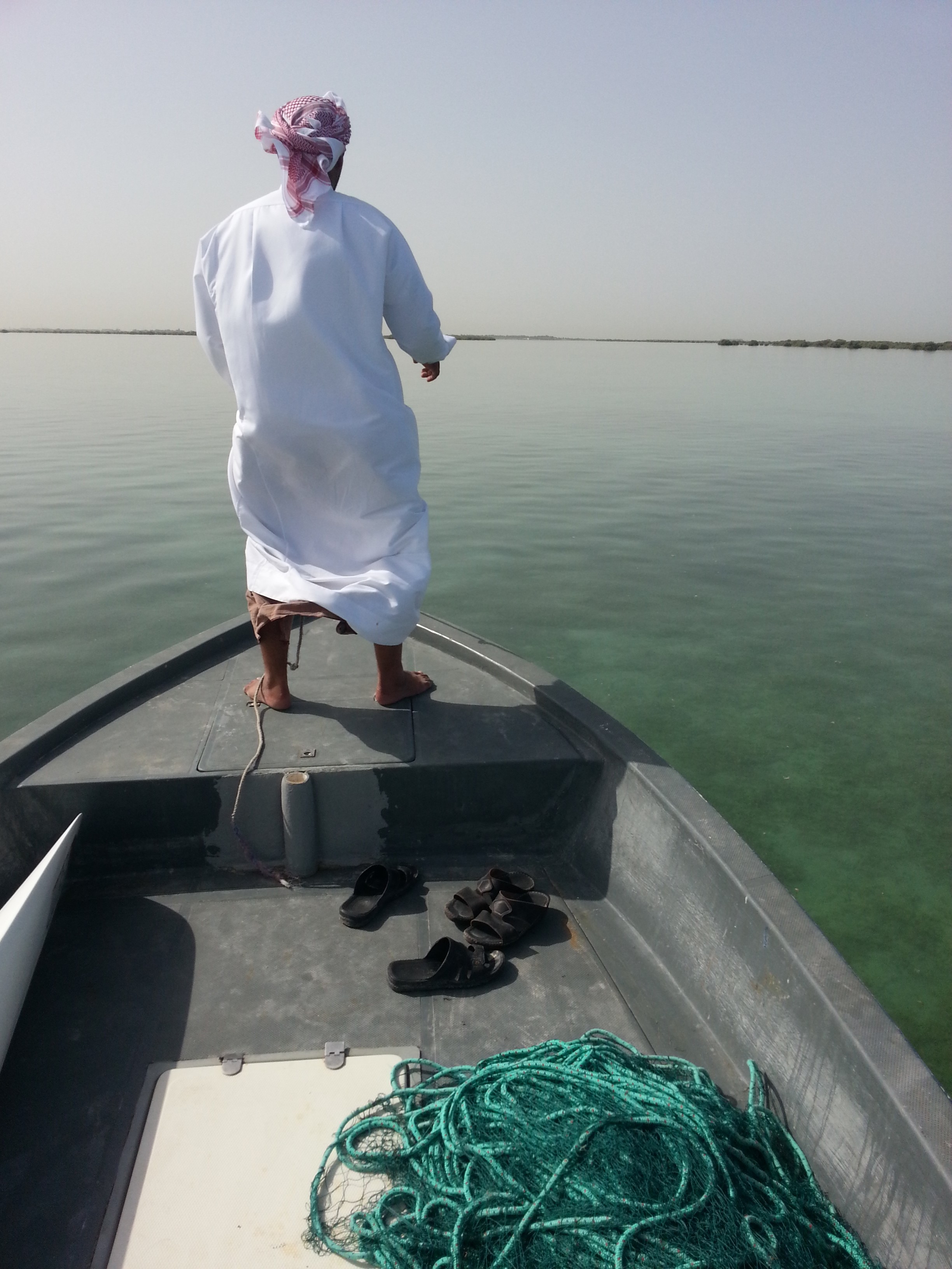
| RoutesMost routes were tracked using the wikiloc apps. These are embedded on the map to the left. Detailed maps can be had by clicking on the green arrows. Google earth kml map files are located at the bottom. These can be downloaded from wikiloc as well.  Surf Ski or Kayak?Most of the routes where completed using a fenn surf ski. Surf skis hold up well under Abu Dhabi wind and tide conditions. They are light and easy to transport. and if a low tide has you stuck on a sand bar, you can simply pick up and go. Warm weather conditions favor an open deck as well.
|
 Google Earth KMZ files and Kayak Forum found
|
 Water Access
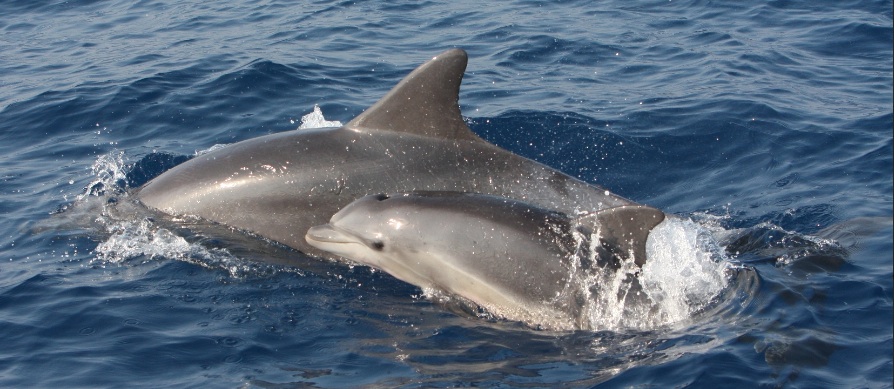
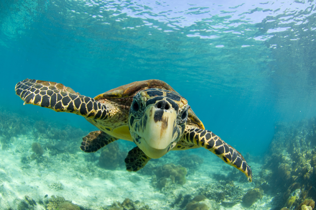
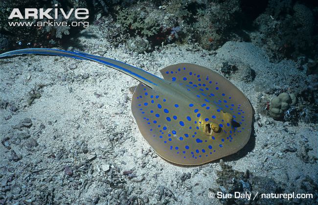
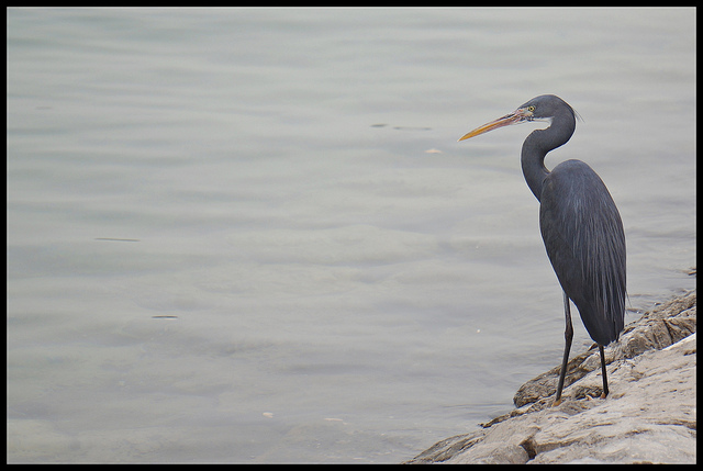
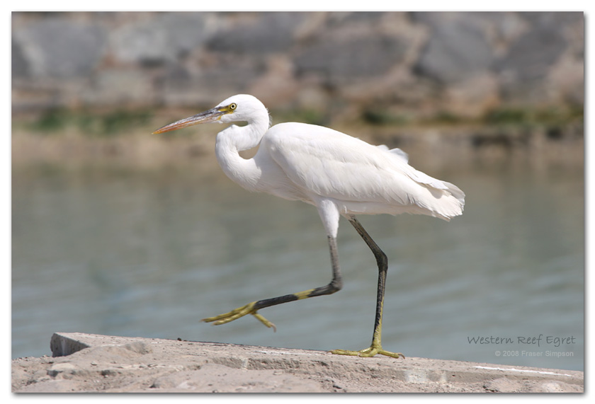
  Wildlife sightings
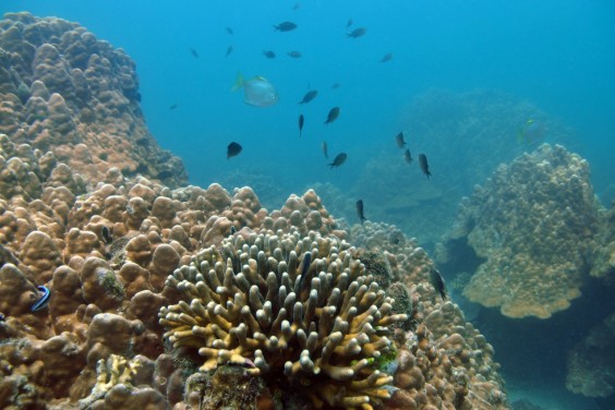
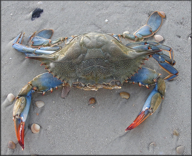
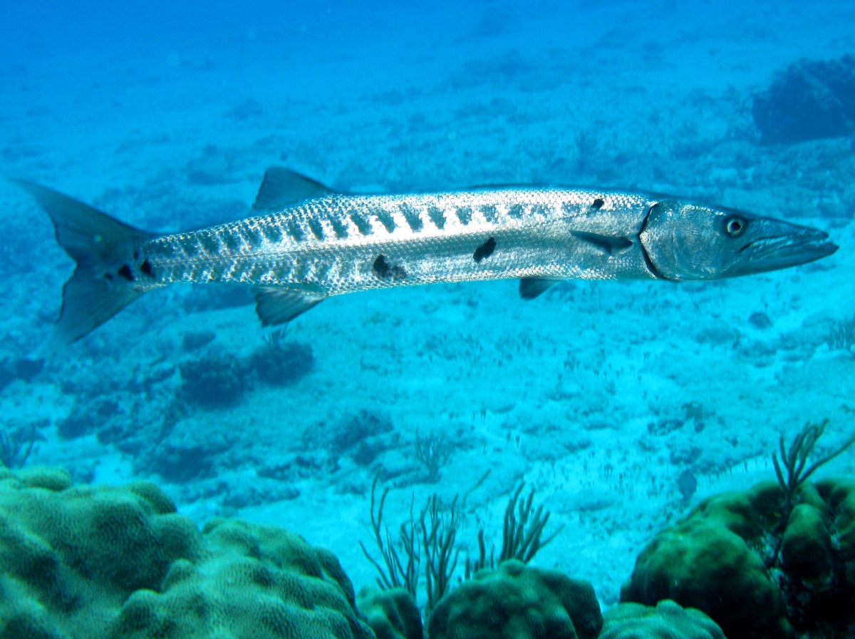
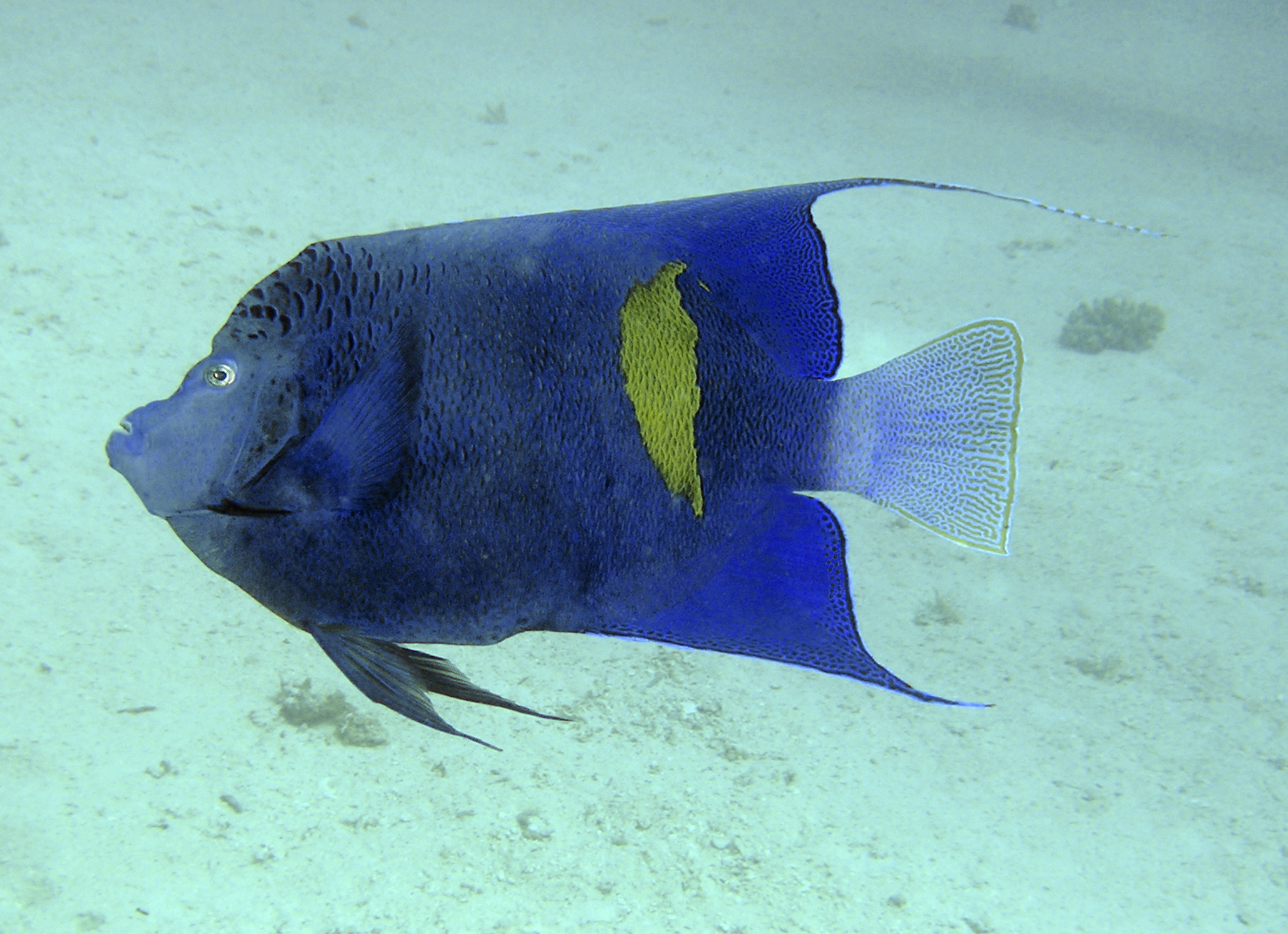
Photo Albums | Wildlife in the Region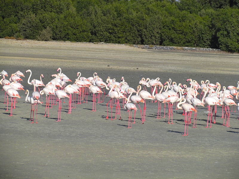


|
